Earth Sciences
All Items
-
 1913 789 Cited —
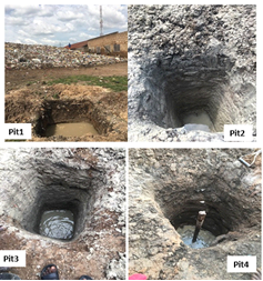
This study explores the extent of leachate contamination and groundwater vulnerability in urban dumpsites, with a specific focus on the Ipata area in Ilorin, Nigeria. The study employs a combination of 2D …
-
 1506 645 Cited —
This paper aims to evaluate the quality of groundwater resources used for irrigation purposes using a Mamdani-type fuzzy inference system (MFIS). The MFIS is used to resolve ambiguities and uncertainties …
-
 2272 782 Cited —
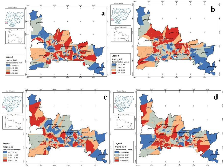
Two-stroke motorcycles emit harmful exhaust fumes because of incomplete combustion. Although they constitute the main fleet of motorcycle taxis in sub-Saharan Africa, monitoring, spatial assessment, and …
-
 1351 638 Cited —
Modeling is a powerful tool used by Geoscientists to provide pre-knowledge about the expectations of any geophysical field measurements. This study generates Self Potential (SP) anomalies over a typical …
-
 1305 1087 Cited —
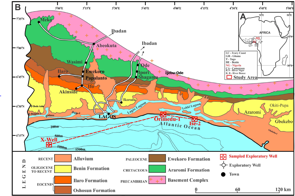
Grain size analysis, geochemistry, and petrography of sandstones of the Ilaro Formation exposed at the Ajegunle area were investigated to infer provenance, transportation history, tectonic setting, …
-
 818 623 Cited —
The study proposed an Adaptive Neuro-Fuzzy Inference Systems (ANFIS) model capable of predicting sediment deposited in a dam and sediment loss-in-transit (SLIT) using the potential of a formulated …
-
 2343 869 Cited —
Syenites are relatively rare within the Nigerian Basement Complex. As a result of their rarity, these rocks have been given less research attention over time and are consequently poorly understood. The …
-
 1659 907 Cited —
The properties of residual soils, according to literature, are sensitive to the pre-test drying method given to the sample prior to testing. Similarly, residual soils such as laterites/lateritic soils are …
-
 1064 909 Cited —
The quality of services provided via Inter-Terrestrial radio communication links such as GSM networks, Wide Area Network (WAN), Radio and TV broadcasts is largely influenced by some meteorological …
-
 1600 978 Cited —
A data acquisition system that utilised the open-source Arduino platform was developed to take real-time ground measurements of primary radio climatological variables of pressure, temperature, and relative …
-
 1716 755 Cited —
Sustainable groundwater yield in aquifers depends on the protective capacity of the subsurface lithologies and conduit systems. Electrical resistivity tomography (ERT) and its Schlumberger vertical …
-
 1589 2315 Cited —
Levels of heavy metals (Zn, Cu, Fe, Cd) were determined in soil, rice grain, and rice stalk from Federal College of Agriculture Ishiagu rice field, Ebonyi state, Nigeria. The dried samples were digested …
-
 1168 660 Cited —Mathematical Modeling of Waves in a Porous Micropolar Fibrereinforced Structure and Liquid Interface
The present investigation envisages on the Mathematical modeling of waves propagating in a porous micropolar fibre-reinforced structure in a half-space and liquid interface. The harmonic method of wave …
-
 1050 545 Cited —
The analysis of the field strength variability using the meteorological parameters (temperature, pressure and relative humidity) retrieved from the archive of National Aeronautical and Space Administration …
-
 2237 1398 Cited —
The problem of urban soil contamination with heavy metals due to rapid urbanization and industrialization has been a major concern in recent years. A university can be considered as a product of …
-
 2639 2114 Cited —
The intensity of solar energy that is received by a particular location is affected by most meteorological conditions including, the solar irradiance received by the location, precipitation, extreme heat …
-
 1559 820 Cited —
The monthly air temperature, rainfall, air pressure, and wind speed direction for the environmental time series recorded between January 1, 1980 and December 31, 2020 in six African stations from different …
-
 1631 1256 Cited —
Failure of roads is common in most part of the tropical region of the world. Majority of which can be attributed to poor selection of soil materials for road construction and climate. This study is aimed …
-
 1433 737 Cited —
Self-organizing maps (SOMs) and other artificial intelligence approaches developed by Kohonen can be used to model and solve environmental challenges. To emphasize the classification of Physico-chemical …
-
 1193 824 Cited —
The early rejection of gangue minerals, at coarse ore particles size (preconcentration), has been shown to be a viable option to cost reduction in many mineral processing applications. A promising …
-
 2127 1225 Cited —
The groundwater of Awe-Keana saline fields in central Nigeria was studied to investigate physicochemical processes that influence its groundwater chemistry and quality and hence determine its quality for …
-
 1344 758 Cited —
In this manuscript, mathematical models for cropping water need (C.W.N) and the size of land for irrigation (S.L.I) were formulated. The solutions of the models for Crop water need for Soya beans and Rice, …
-
 1345 525 Cited —
Severe Acute Respiratory Syndrome Coronavirus 2 (SARS-CoV-2) causes Coronavirus disease (COVID-19) through multiple transmission routes and understanding the mode of transmission is very important for its …
-
 1351 1013 Cited —
This research integrated easy-to-handle remote sensing data and geoinformatics techniques for erosion mapping and groundwater management in the River Amba watershed, central Nigeria. It is aimed at: (a) …
-
 1088 779 Cited —
Intense geomagnetic storms offer opportunity to understand ionospheric response to space weather events. Using Total Electron Content (TEC) data from stations along the east African sector, the two most …